Items
Item set
ATR-Maps
-
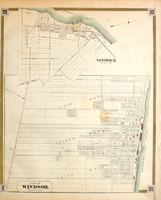
Sandwich And Windsor 1879
A map of the three wards of of Windsor circa 1879 -
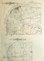
Map of East and West Sandwich Townships. Map of Anderdon Township 1882
A map of East and West Sandwich Townships and Anderdon Township circa 1882 -
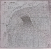
Plan Of The Townships Of Sandwich West, East, And South 1905
-
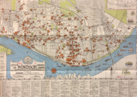
City of Windsor Map 1937
City of Windsor map, February 1937: An amalgamation of original cities of East Windsor, Walkerville, Windsor, and Sandwich, also showing Riverside and environs of Windsor -- includes the new street numbering system of Windsor -
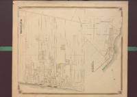
Town of Windsor and Sandwich 1879
A map of the City of Windsor and Sandwich Town circa 1879 -
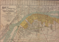
Map of the Border Cities of Windsor, Walkerville, Ford City, Sandwich and Ojibway
A map of Windsor, Walkerville, Ford City, Sandwich and Ojibway circa 1923 -- Showing all highways, team and electric railways, rivers, creeks, parks, etc. City, village and township boundary lines, property lines of all unplatted acreage and the location of the industrial, educational and public institutions -
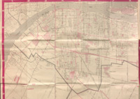
Windsor, Essex County Street Map
A street map of Windsor, Ontario, Canada circa 1981 -- Includes Amherstburg, Town of Essex, Sandwich West, Sandwich South, St. Clair Beach, Tecumseh
